
Open landscape
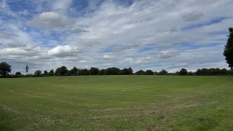
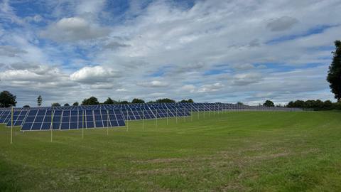
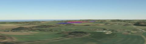
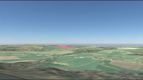
Effect of ground-mounted installations on the landscape: calculated visibility in the official surface model, viewpoints in the 3D model and a traceable evaluation for the near and far zone.
Geodata: © GeoBasis-DE / GeoSN (2025), dl‑de/by‑2‑0
Ground-mounted photovoltaic installations change the appearance of a landscape. In the permitting procedure – for example in the environmental report or when weighing objections – the question therefore regularly arises: From where can the installation be seen, and how strong is its effect there?
The analysis answers it by calculation on the basis of the official digital surface model (DSM), which includes buildings and vegetation as well as the terrain.
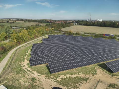
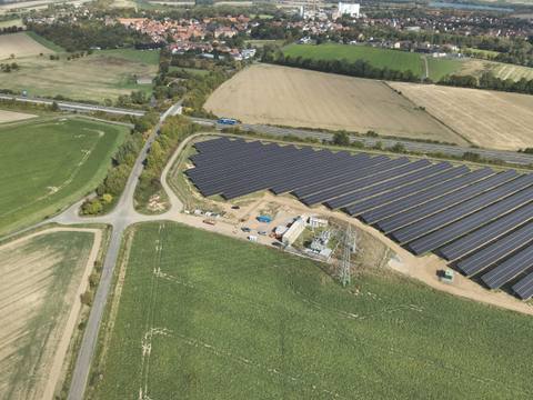
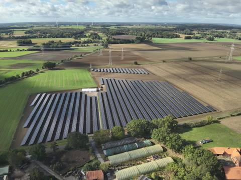
The evaluation follows a fixed matrix based on the recommendations of the KNE (Kompetenzzentrum Naturschutz und Energiewende, German Competence Centre for Nature Conservation and the Energy Transition). The decisive parameter is derived from the six criteria: the dominant influence of the installation on the landscape – low, medium or high.
| Criterion | Content |
|---|---|
| Visibility | Proportion of the installation area to which there is a clear line of sight from the viewpoint |
| Distance | Distance between viewpoint and installation |
| Horizontal extent | Width of the visible module tables in the field of view, including existing installations |
| Vertical extent | Mean vertical visual angle of the visible module tables |
| Pre-existing visual impact | Technical character of the area due to railways, commercial uses, power lines or existing installations |
| Reflection and glare | Approximate classification of possible reflections towards the observers |
A visibility analysis in the surface model shows from where the installation can be seen.
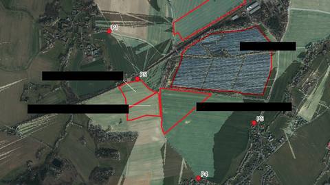
For each viewpoint, the line of sight is calculated and the view is reproduced in the 3D model.
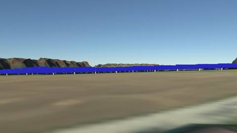
From viewpoints, the effect within the overall landscape is examined.
You receive a report with
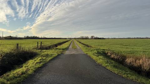
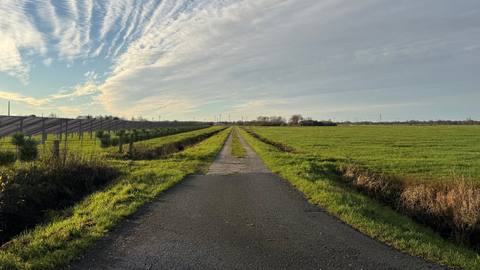
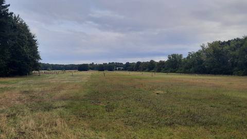
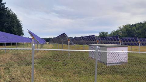
Based on photographs that we take on site at the relevant viewpoints, we create photorealistic views of the planned installation. Module tables, fence and stations are inserted into the photograph in their correct position – so it becomes visible before construction how the installation appears from the farm track, from the edge of the village or from the viewpoint.
The visualisation supplements the landscape impact assessment with clear images, for example for the municipal council, public information or the environmental report. It can also be commissioned as a separate service.
When the effect on the landscape becomes an issue in the procedure – for large or several neighbouring installations, in landscapes with little existing visual impact, close to settlements or below viewpoints. The earlier it is available, the more readily the site layout and screening planting can still be adjusted.
Yes. Horizontal and vertical extent are determined including neighbouring existing installations, so that the cumulative effect of existing and planned installations is captured. Existing technical character is also included as pre-existing visual impact.
As an approximate estimate, as one of the six criteria. A time-resolved calculation according to the guidance of the LAI (German Working Group on Immission Control) is the subject of a separate glare assessment.
Not necessarily for the analysis. It is based on high-resolution official geodata. Small-scale structures such as individual hedges or new plantings may differ in detail; the report states this. For photorealistic visualisations we take the photographs on site.
Yes. The photorealistic visualisation is a separate service and can optionally supplement the landscape impact assessment.
Usually two to three weeks after receipt of complete documents. If it is urgent, please contact us.
Use the form, call us on +49 4103 121 4221 or write to kontakt@sonnwinn.de – whichever suits you best.
You do not need to attach documents to your enquiry – once we have received it, we will help you put together the documents required.